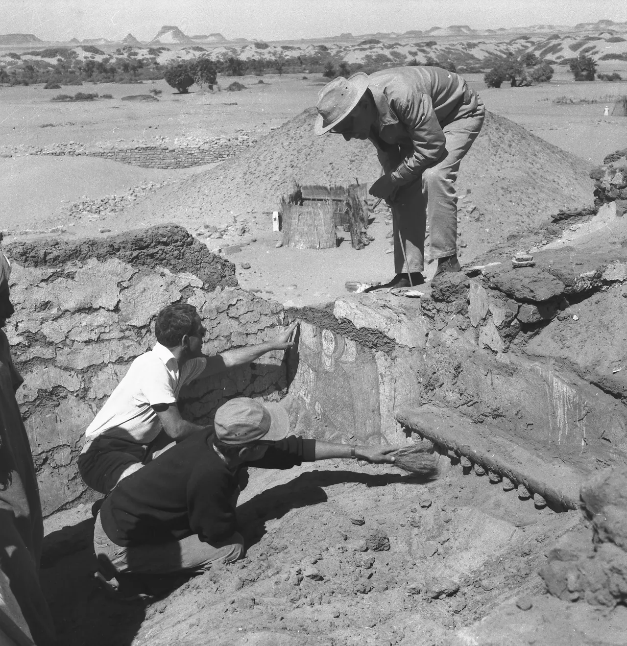
An archaeological excavation at Resuloglu Hoyugu in the Delice basin of Cankiri, Türkiye, significantly accelerated surface runoff and soil erosion after uncovering Early Bronze Age settlement layers and cemetery sites between 2003 and 2019. According to a study by K. Kocakli, D.C. Flanagan, and T. Yildirim published in Geoderma Regional, removing topsoil to expose harder sub-layers disrupted the natural slope hydrology, causing measurable increases in water flow and sediment loss.
To capture the environmental impact of the excavations, researchers reconstructed the pre-excavation topography using historical aerial photographs from 1990 and merged them with post-excavation surface data collected via drone in 2019. Using the QGeoWEPP modeling tool, the team analyzed eight slopes altered by digging alongside two undisturbed reference slopes. Incorporating 24 years of weather data spanning from 2000 to 2024, the model generated three key annual outputs for each slope segment: surface runoff volume, soil loss rates, and sediment yield.
How do archaeological excavations change soil erosion rates at Resuloglu?
Archaeological excavations at Resuloglu significantly increased soil erosion rates by stripping away protective topsoil and exposing denser, less permeable sub-layers to rainfall. On the excavated cemetery slope, average annual surface runoff expanded from 12.6 mm to 20.1 mm following the digs. This increase in unabsorbed water drove annual soil loss from 1.1 kg/m² up to 2.1 kg/m², while annual sediment yield nearly doubled, rising from approximately 11 t/ha to 21 t/ha.
Why do different slopes respond differently to archaeological disturbance?
Different slopes respond uniquely to archaeological disturbance depending on soil composition, slope steepness, and where excavated soil spoil is deposited across the site. In areas where excavated soil was deposited downhill, water infiltration slightly increased; however, where fine-grained, loose sediment sat on steep inclines, new erosion pockets rapidly formed. On one analyzed section of the settlement slope, soil loss escalated sharply from 1.1 kg/m²/year to 4.9 kg/m²/year, demonstrating that excavation impacts vary widely across a single landscape rather than causing uniform degradation.
Notes and Sources
- Kocakli, K., Flanagan, D.C. and Yildirim, T. (2025). Modeling archaeological excavation-induced soil erosion in cultural heritage landscapes: A QGeoWEPP-based assessment at the Resuloglu Mound, Türkiye. Geoderma Regional, DOI: 10.1016/j.geodrs.2025.e01018. ↩
- Istanbul Technical University / Phys.org (10 November 2026). Digging up the past can change the ground beneath it. phys.org. ↩
- Istanbul Technical University Research Portal. Publication record and summary page: research.itu.edu.tr. ↩